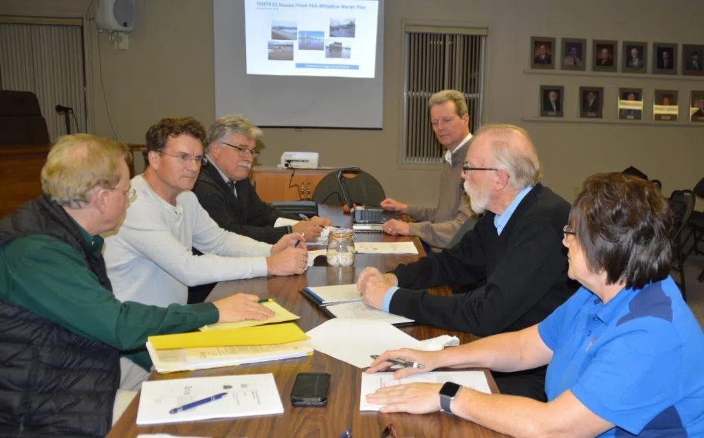
From left to right, discussing the plan, are Sussex Deputy Mayor Tim Wilson, Sussex Mayor Marc Thorne, Sussex Chief Administrative Officer Scott Hatcher, RV Anderson’s associate director Hans Arisz, Sussex Corner Mayor Steven Stackhouse and Sussex Corner Deputy Mayor Patsy Shay. (Photo by the Town of Sussex)
Bad flooding has hit the Sussex and Sussex Corner areas several times in recent years and now they are looking at a master plan to deal with it.
The Town of Sussex Chief Administrative Officer, Scott Hatcher, says after significant flooding a few years ago, they made a surprising discovery about Trout Creek after doing an aerial digital terrain map.
“It basically emptied to the Kennebacasis River as it does now in a different direction and what we experienced in 2014 was the reason that the water breached its bank in that position (Route 1 at Cougle Road) what we think is the old stream bed,” stated Hatcher.
Hatcher says they decided that perhaps this is one of the answers to their flood mitigation ambitions.
“We could perhaps re-utilize that by putting an engineered diversion channel in place and taking that top troublesome layer of water that flows through the two communities and divert that in a different direction,” he said.
Hatcher points out that once they decide on the master plan, it will then have to undergo rigorous scrutiny by the public and that is not going to happen overnight.
“Then we can begin the process of submitting the necessary funding applications for looking for other levels of government assistance the solution is very expensive,” stated Hatcher.
He says it will take at least five years to get all the required permits and environmental impact assessments done before they can even think about putting shovels into the ground.


