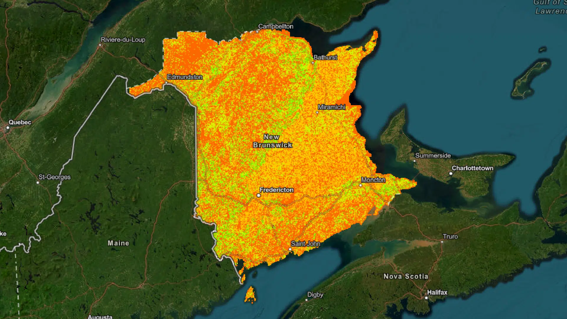
New Brunswick has launched a new online mapping tool it says will help the agriculture sector.
The interactive map shows what lands are most suitable for crops like potatoes, small grains, vegetables, small fruit and forages.
Agriculture Minister Margaret Johnson said the new tool has been in the making for quite some time.
“Agriculture is an economic driver. We want to make sure we’re bringing new entrants in,” Johnson said in an interview.
“To do that, we wanted to provide them with a toolbox of resources that can help them to identify where they might like to set up shop.”
According the province, the mapping tool determines land suitability for crops based on the type of soil, topography and the depth to ground water. It pinpoints with an accuracy of up to one metre.
Johnson said while the tool is great for new entrants into the agriculture sector, it is also beneficial for existing farmers.
“If you’ve got a field that really wasn’t giving you good yield in one corner, you can look on this map and it might show that there’s a soil in that area that’s not appropriate,” she said.
The vital tool, said Johnson, will help increase the province’s food self-sufficiency and overall agricultural production.
Groups like the Agricultural Alliance of New Brunswick and the National Farmers Union in New Brunswick (NFU-NB) are expressing their support for the new software.
Suzanne Fournier, executive director of NFU-NB, said the amount of farmland in the province has declined by 18 per cent over the last five years.
“With the housing crisis there is a great deal of pressure to use farmland for development and residential purposes,” Fournier said in a news release.
“With study and consideration of the soil types and best use of land practices, development can occur in the same general vicinity without destroying agricultural land.”
New Brunswick’s agriculture sector exported a record $689 million in 2022 and finished the year with a record $1.3 billion in revenue.


