


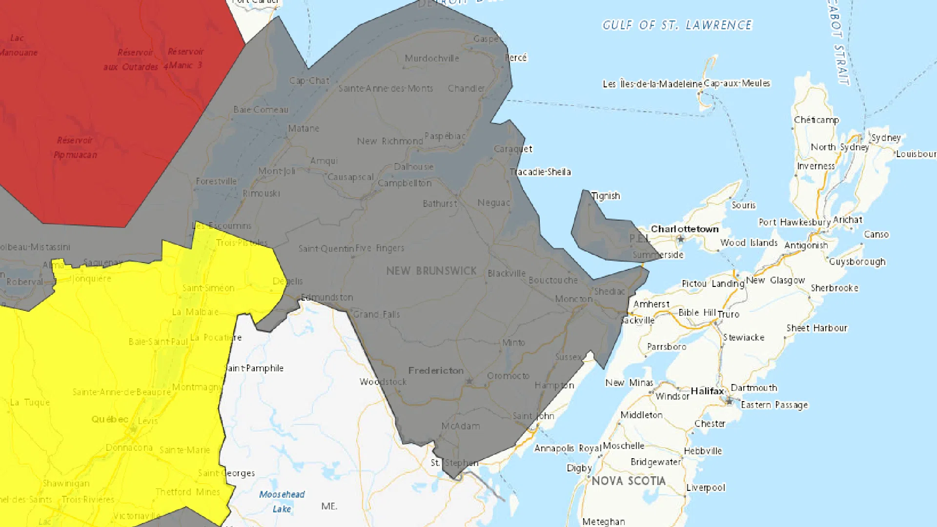
Another round of winter weather could bring significant snow to New Brunswick later this week.
Environment Canada issued a special weather statement for the entire province on Tuesday.
Forecasters said between 20 and 30 centimetres of snow is possible in some areas.
“It looks like the heaviest snowfall will probably be either through central or northern New Brunswick,” Meteorologist Mel Lemmon said in an interview.
“There’s still some uncertainty in the track of the low and the distance that heavy snowfall is going to be from that.”
Lemmon said based on the current track of the storm system, areas along the Fundy coast should see lesser amounts of snowfall.
“It looks like it’s going to change over to ice pellets, which themselves can be pretty significant, but they’re not going to quite get as much snow because of that,” he said.
“I’m not sure how far north those ice pellets are going to extend, whether they’re going to get up as far as Fredericton or stay just along the coast or where exactly that line is going to be.
Lemmon expects precipitation to begin over western areas of the province early in the morning and cover the entire province by around the noon hour.
If the changeover from snow to ice pellets does occur, he said it would probably happen sometime later in the afternoon.
Environment Canada warned that travel could become difficult as heavy snow may come during busy traffic hours.
The national weather agency is encouraging residents to monitor alerts and forecasts as we get closer to Thursday.