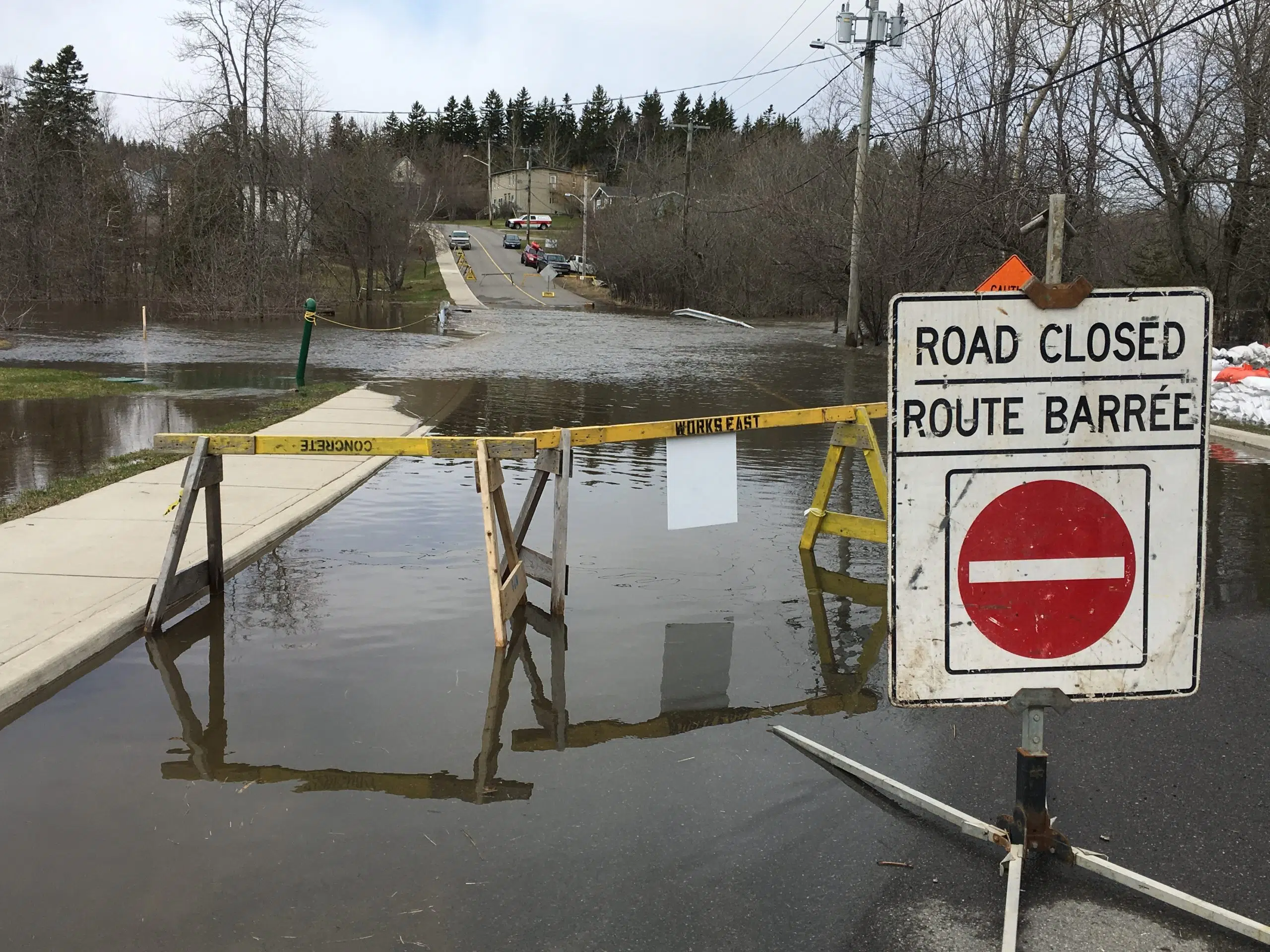
Floodwaters cover the Randolph Bridge in Saint John on April 27, 2019. (Image: Brad Perry)
New Brunswickers living near waterways can now see how the effects of climate change might impact water levels.
Provincial officials released updated interactive flood hazard mapping online last week.
It uses the latest info and modelling technology to identify at-risk areas and incorporates the effects of climate change.
Environment and Climate Change Minister Gary Crossman said these maps will help the public, local governments, land planners and developers reduce flood-related risks to people and property.
“We experience both coastal and inland flooding in our province,” Crossman said in a news release Friday.
“With climate change, we will see more storm surges and more inland flooding.”
The mapping allows you to see what present-day one-in-20-year and one-in-100-year floods might look like in areas along the coast and near rivers.
It also includes the possible climate change impacts on these types of floods up to the year 2100.
Crossman noted that climate change adaptation plans have been completed for 48 communities, and another eight are expected to be done by March.
The public is invited to take part in online sessions this week to learn more about the flood hazard mapping. More info can be found online.


