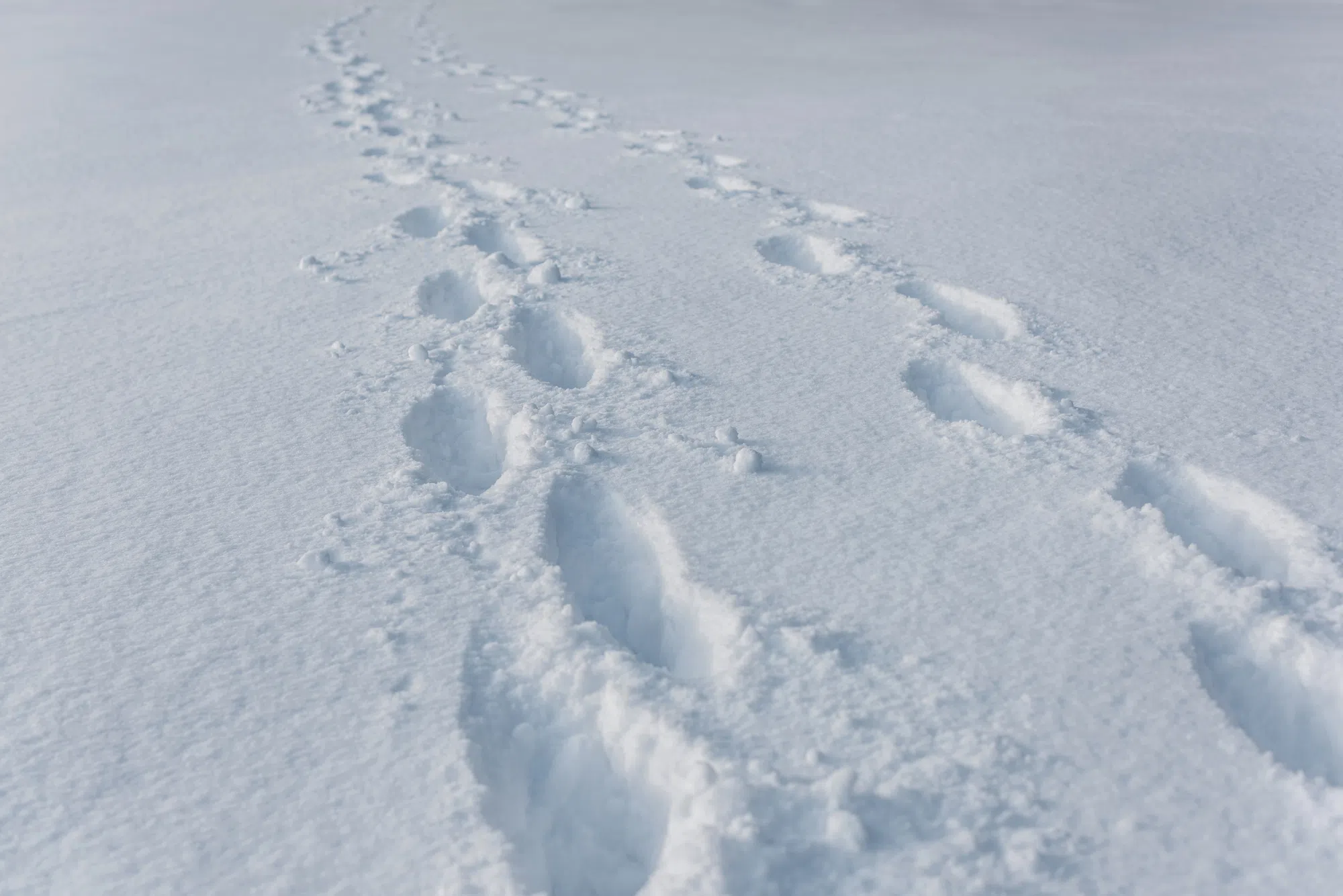
Now might be a good time to dig your shovel and snowbrush out of storage, if you have not already.
Environment Canada says snow is coming to parts of New Brunswick Thursday night.
Snowfall warnings have been issued for the following regions:
-
Acadian Peninsula
-
Bathurst and Chaleur Region
-
Campbellton and the eastern half of Restigouche County
-
Fredericton and Southern York County
-
Fundy National Park
-
Grand Lake and Queens County
-
Kent County
-
Kouchibouguac National Park
-
Miramichi and area
-
Moncton and Southeast New Brunswick
-
Mount Carleton – Renous Highway
-
Oromocto and Sunbury County
-
St. Stephen and Northern Charlotte County
-
Stanley – Doaktown – Blackville Area
-
Sussex – Kennebecasis Valley and Kings County
-
Woodstock and Carleton County
Forecasters say between 15 and 20 centimetres of snow could fall between late Thursday night and Friday morning.
“We often see our first big snowfall in November, and if we’re in the Northern part of the province sometimes it’s October. Maybe in comparison to our last few winters that haven’t been all that snowy, it may seem a bit early. According to our 30-year climate normal, this is pretty typical of the region,” says Environment Canada Meteorologist Jill Maepea.
Saint John and County remains under a special weather statement with up to 10 centimetres of snow possible.
Precipitation is expected to begin as rain in the south and will transition to snow as temperatures drop below freezing on Thursday night.
“Areas along the Bay of Fundy will see mostly rain. They won’t see much snow accumulation. Central areas, Woodstock, Fredericton, maybe up to Miramichi and Moncton and the Southeast, that’s the band of area that will see the most snow,” Maepea adds.
Snow is expected to be quite wet, and it will stick to trees. Maepea says it is going to be tricky to have those accumulations as the temperatures hover just around zero or just above.
Environment Canada warns that travel could become difficult due to snow accumulating overnight. If you must travel, be prepared for delays and allow extra time to reach your destination.
Maepea says it’ll be a fast-moving system and is expected to wrap up by Friday morning.
Next week though, you’ll want to keep the winter coats nearby. “Some of our longer ranger models, temperatures are supposed to be below normal for the first part of December,” Maepea says.


